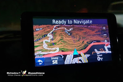
In response to the COVID-19 Pandemic and its effect on the Philippines, Schadow1 Expeditions has released a specialized navigation map for front liners and consumers during the Luzon Lockdown. The map includes the features of the Humanitarian Activation map which we provide to our partner responders and at the same time, including some of the functionalities of the Donation version which includes opening hours and contact numbers of establishments.
The map is provided for free and can be downloaded in our download page. After filling up the form, please select the download link for the COVID-19 Navigation Map.
Luzon Lockdown Navigation Map Download Mirrors
Note: we currently have a surge of downloads and thus have specified the mirrors below. Special thanks to UAS Consulting Philippines and Tulustech Innovations for helping us with the mirror and bandwidth.- Main Download Site (go to FREE Versions)
- UAS Consulting Philippines (mirror 1)
- Tulustech Innovations (no longer available)
- CX Systems Networks (mirror 3)
Map information
The map includes transport stops for our medical front liners and locations of checkpoints established by the Police, Military, and the local government, medical facilities catering to COVID-19 cases, as well as the latest road map provided by mapping volunteers on OpenStreetMap
The map aims to provide the front-liners with a navigation map to guide them on the appropriate transport stops, as well as for the logistics of goods and important supplies.
The map also provides a guide for consumers that can be used as a navigation map, as well as a directory of establishments that provide basic necessities during the lockdown.

|
| The actual map on Garmin BaseCamp application |

|
| The actual map on Garmin navigation device |
The map is compatible with Garmin navigation devices.
For consumers who would need to utilize the map as a directory of establishments, Garmin BaseCamp can be installed on your Windows-compatible PC and Mac then load the downloaded map to the application.
For more information on its installation, please refer to our guide.
The map includes the following data as of March 29, 2020. Data increases as our supporters add necessary information that can be utilized by the volunteers. The map installer is being updated on a daily basis until needed as data continues to pour in.
- 10727 Convenience Stores
- 16752 Food Stores
- 1688 Groceries
- 5902 Banks
- 610 Water Stations
- 117 checkpoints
- 50 Transport stops for Frontliners
- 2783 Healthcare providers
- and other emergency facilities
Proximity Alert
A Custom POI for proximity alerts are also available which alerts you when entering an area with a high concentration of CoViD-19 cases (Hot Zones and Epidemic Zones) based on our Hot Zones Map. You may download it from one our download mirrors above with file name ph_alerts_covid19hotzones.zip

|
| Proximity Alert when entering a CoViD-19 zone |
Transport stops for medical front-liners have been provided by the Department of Transportation while the checkpoints data are initially provided to us by the Office of Civil Defense and by volunteer drivers.
Schadow1 Expeditions wishes everyone our health and safety and only hit the road when necessary during the lockdown.
Related Links
- Elevation and 3D Terrain Map of the Philippines 2020 Update
- 3D Terrain GPS Navigation Map of the Philippines
- Travel Essentials Guide
- Visual Improvements Update - GPS Routable Map of the Philippines
- GPS Routable Map is now Lane Assist Compatible
- Elevation map of the Philippines at 30-meter accuracy has been released
- #mapPHL - The mapping advocacy of Schadow1 Expeditions
- Download page of the GPS Maps of the Philippines


No comments:
Post a Comment